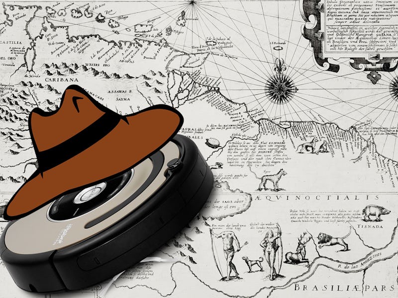
If you told the cartographers of yesteryear that they would one day be replaced by a suited up Roomba, they would have probably tossed you overboard. But fast forward a thousand years and three researchers at the University of Maryland have retrofitted a robot — named TurtleBot — with the capacity to navigate unexplored terrain and map it out too. Think of it as a robo Christopher Columbus, but way more accurate and not a racist.
In the paper published online, the trio of researchers explained how they are well on their way towards making a fleet of robotic cartographers.
“Autonomous exploration is at the very crux of the autonomous machines, especially for walled environments or where GPS connectivity is an issue,” co-author Anirudh Topiwala, tells Inverse. “Using frontiers to form a map is a technique which has been established a long time back and is still being used on a daily basis and will be used for mapping out environments [moving forward].”
Self-driving cars and autonomous drones currently rely on maps to navigate their surroundings. GPS technology solves some of these issues, but there are still plenty of areas around the world that lack detailed topographic data. TurtleBot is here to help.
Using a technique called Simultaneous Localization and Mapping — or SLAM for short — it can safely traverse uncharted regions and map them out. This way more delicate machines that might come after it won’t slam into any walls or fall off of any cliffs and become damaged.
TurtleBot uses an algorithm known as Wavefront Frontier Detector to trace the boarders, or frontiers, of an area to quickly create a map. It also uses Light Detection and Ranging sensors — the same tech used in self-driving cars — to ensure it doesn’t bump into anything. This is essentially a camera that shoots out a beam of light and measures how long it takes the light to get back to the device, sort of like a sonar.
Explored map by TurtleBot.
With some new robotic hardware and some minor software tweaks, Topiwala said this technique could be used to map out unknown parts of the ocean and even space.
“Light is not affected in space, therefore LIDAR should work fine in space. Although, there is a special type of LIDAR for space use called LIDAR In-Space Technology Experiment,” he says. “Light bends in water and therefore I think deviation in light pulse needs to be accounted for and therefore fine tuning might be required to use it under water.”
So long salty sea dogs, it’s TurtleBot’s time to shine. Maybe now we can finally find Atlantis.