Why Hurricane Hunters Brave Devastating Storms for Science
The storm may be over, but the science is not.

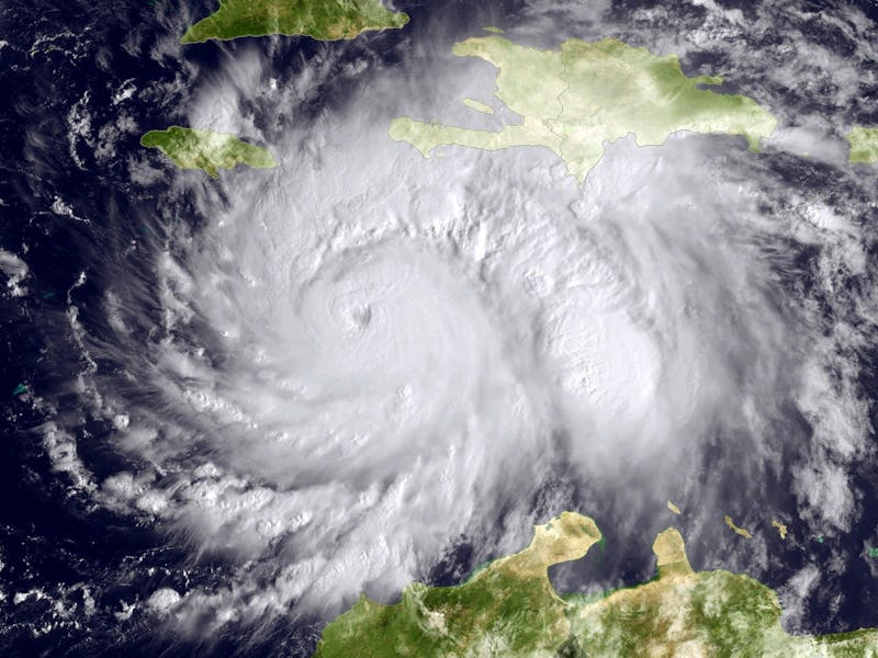
Hurricane Matthew is the most power Atlantic storm to hit since 2007. While most people try to avoid meteorologic monstrosities, a special crew of Hurricane Hunters flies into the heart of these storms for science. Crews at the National Oceanic and Atmospheric Administration and NASA conduct these flights to collect critical storm data.
We rely on a team of eyes in the sky, like the GOES family of satellites, to help us understand how storms tick and keep people on the ground safe. However, even they can’t see it all. Here’s where a fleet of special planes, and drones come in. Their goal: to better understand the nature of these storms and determine where they are headed next.
Hurricane hunters and the planes they fly in are basically portable meteorological stations, collecting data such as wind speed, temperature, air pressure, rainfall, and much more in greater detail than can be seen from space.
The planes are loaded up with a multitude of sensors, as well as cameras that take both photo and video during the flight. Here’s a look inside a very turbulent portion of flight as the crew flew into the storm’s eye wall.
Orbital satellites are invaluable tools, but certain crucial data can only be collected by flying specialized instruments directly into the storm. Those measurements are then combined with satellite data to provide scientists with a more accurate picture.
Hurricane hunters fly repeated missions until the storm is no longer a threat, and flight patterns vary depending on the type of data collected. Here’s a view of hurricane Matthew during a recent flight.
The data that is collected from the flights and from NASA’s Global Hawk drone is transmitted in real-time to the National Hurricane Center’s forecasters, and is also fed into computer models to help improve future forecasts.
A drone's eye view of Hurricane Matthew
Hurricane Matthew has been downgraded to a post-tropical cyclone. While the storm is no longer a threat, the cleanup is just beginning.