DARPA's O2 Network Helps Satellites Navigate Space "Minefield"
More than 100 sensors and telescopes will help save us from space junk.

Apparently, someone in the government saw 2013’s Gravity and became extremely concerned about one of the more than 1,200 active satellites orbiting the Earth crashing into some space junk. It’s a real fear, because the Defense Advanced Research Projects Agency (DARPA) has started work on a project that will help spacecraft and satellites navigate the “minefield” of debris circling Earth.
DARPA has been developing the OrbitalOutlook (O2) program since 2014, but on Wednesday they announced that the network now comprises more than 100 sensors around the world, making it the largest space situational network ever assembled.
While it’s less likely that a freak asteroid storm will fly by Earth and rip apart Sandra Bullock and George Clooney while they’re on a spacewalk, DARPA is concerned that something as small as a paint chip could cause a catastrophic chain reaction if it ever made contact with an active satellite, or worse, a manned spacecraft.
DARPA says there are more than 500,000 pieces of man-made space debris orbiting Earth at roughly 17,000 miles per hour, ranging from tiny flecks of paint to large chunks of old equipment. At those speeds, it’s easy to see how even a small collision could have a devastating outcome.
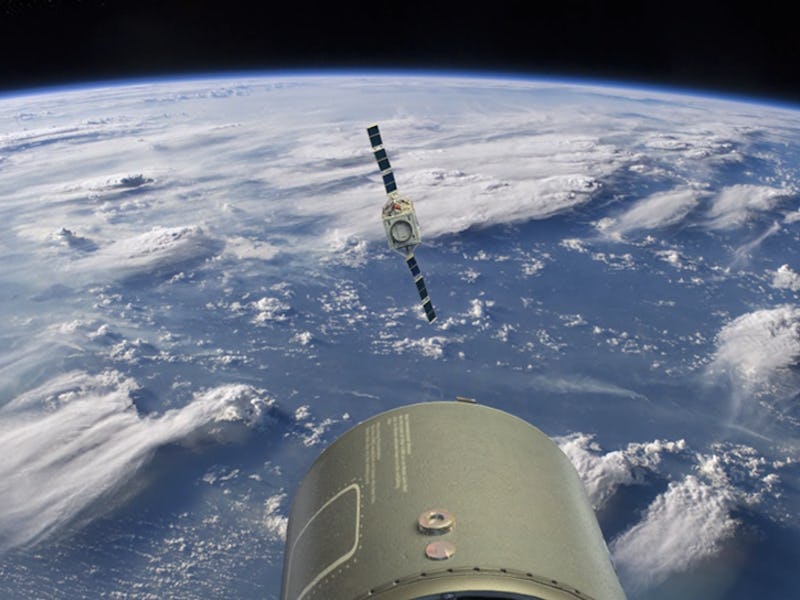
An artist concept shows how the O2 network communicates with active satellites.
“By including new telescopes and radar facilities based in diverse locales, and by revolutionizing how we process different data types, we anticipate vast improvements in our tracking of potentially hazardous objects and our ability to efficiently avoid collisions in space,” Lt. Col. Jeremy Raley, DARPA program manager said in a press release. If it’s successful, OrbitOutlook could completely change how the U.S. military and the global space-debris-monitoring community collect and use space situational awareness data.
Traditionally this sort of tracking has been done by the U.S. Air Force, which operates the United States Space Surveillance Network (SSN), however, the technology hasn’t kept pace with the rapidly expanding governmental and commercial space programs. The O2 program will combine many of these government and civilian assets together to bring things up to speed, using optical telescopes and passive radio frequency telescopes from academic institutions as well as privately owned optical telescopes. Its EchoView program will try to develop technology to harness commercial and civilian radar and passive RF telescopes, and the Low Inclined LEO Object detection program will deploy telescopes to Ascension Island in the South Atlantic Ocean for extra coverage of the equatorial orbits.
Now that DARPA has all of these sensors, it’s going to start compiling all of this new found data to form algorithms that will allow spacecraft to easily navigate upon launch and give satellites an appropriate amount of time to correct course in the event of a potential collision. It may be too late for George and Sandra, but DARPA is determined that Gravity will stay science fiction.