California Fires Map Shows the Extent of Blazes Ravaging State's Wine Country
Firefighters are still dealing with dozens of fires spreading thousands of acres.

At least 11 people have died in the wildfires in northern California that have destroyed more than 115,000 acres in its wake. Seventeen major fires are still actively burning as of Tuesday morning, the National Wildfire Coordinating Group says.
This public map from the California Department of Forestry and Fire Protection site is continually updated with location and magnitude of the various fires, as well as where additional information can be found on area evacuations and damages.
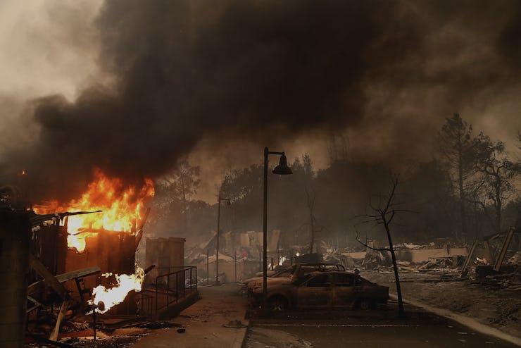
Photos and videos out of California show just some of the 1,500 houses and vineyards burnt to the ground, skylines filled with smoke, and sunrises painted red. More than 20,000 residents were ordered to evacuate in the most affected areas.
California Gov. Edmund Brown declared states of emergency Monday in eight state counties: Butte, Lake, Mendocino, Napa, Nevada, Orange, Sonoma, and Yuba. The White House has also issued major disaster declarations for 10 California fires, which allows the state to receive federal funding and assistance in its recovery efforts.
Another map from the Governor’s Office of Emergency Services shows the location of each wildfire in the state:
This map shows the locations for the wildfires that California firefighters are battling as of the morning of Oct. 10.