Satellites Are the Key to Uncovering War Crimes in Syria
They're crucial tools.

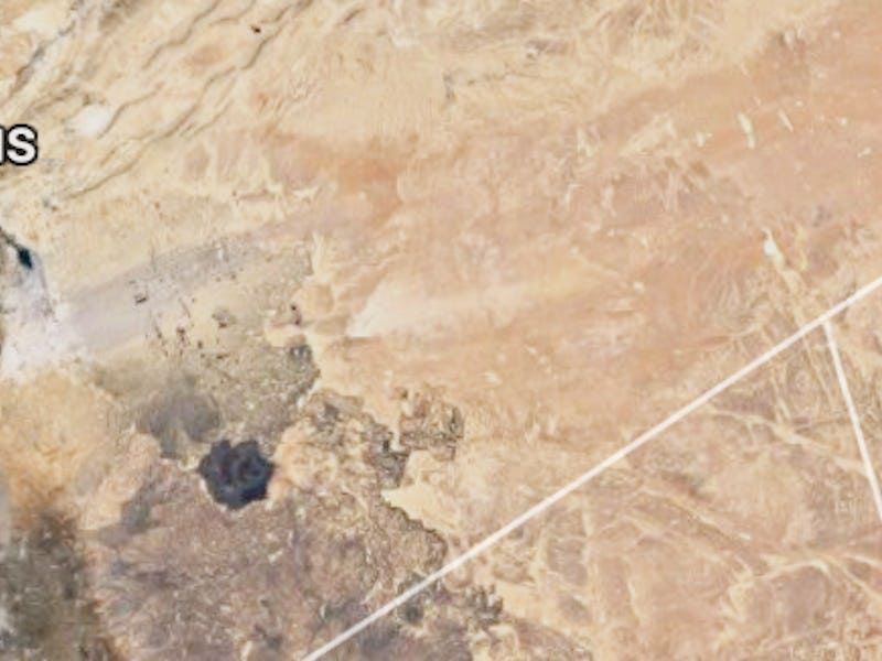
When investigators want to know whether or not an authoritarian regime is committing human rights abuses, they check satellite imagery.
On Monday, the United States accused the Syrian government of Bashar al-Assad of building a crematorium within the infamous Sednaya prison complex to cover up extensive mass murders there. Syria’s Foreign Ministry has since denied the claims. A U.S. official told reporters that a crematorium “would allow the regime to manage that number of corpses coming out of the prison complex, and without evidence.”
The U.S. government’s proof? Photos taken by Digital Globe, an American satellite imagery company. The images show that a building was modified in the complex starting in 2013, with “HVAC facilities, the discharge stack, the probable firewall, the probable air intake” that would indicate a crematorium. Snowmelt on its roof, unlike the surrounding buildings, suggests a significant amount of heat coming from the inside.
Satellites are a key tool that investigators can use to uncover human rights abuses like these. In the case of the Bosnian genocide, for example, aerial photo evidence was used to identify earth that had been moved to make mass graves.
Satellite image of Sednaya released by the U.S. State Department.
Satellites capture these images by either emitting signals and analyzing the way they reflect off of ground objects (“active remote sensing”) or analyzing the reflection of sunlight off of ground objects (“passive remote sensing”).
Eric Stover of UC Berkeley’s Human Rights Center told Scientific American that the photos released by the State Department alone are not proof enough that a crematorium exists within the Sednaya complex, but that the department may have other intelligence to corroborate the claims. “It seems to me that to release that evidence to the public, they are fairly confident of what they are seeing.”
The Sednaya building accused of being a crematorium.
Stover explained that satellites are useful when evidence cannot be collected on the ground. If physical investigation of Sednaya was possible, there would be more definitive ways to look for proof: “You can go in now with DNA analysis and take soil samples and see the residue of human remains, too. It’s very difficult to destroy that sort of site in a way that there would not be any way on the ground to say there were human remains. A body leaves a lot of traces behind.”
Such an investigation isn’t possible now, but it may be one day.
Satellite evidence often isn’t conclusive, but it is one of the most important tools we have to investigate war crimes in inaccessible places.