Hurricane Matthew's Red "Sprite" Lightning Explained
There are beautiful mysteries above the storm.

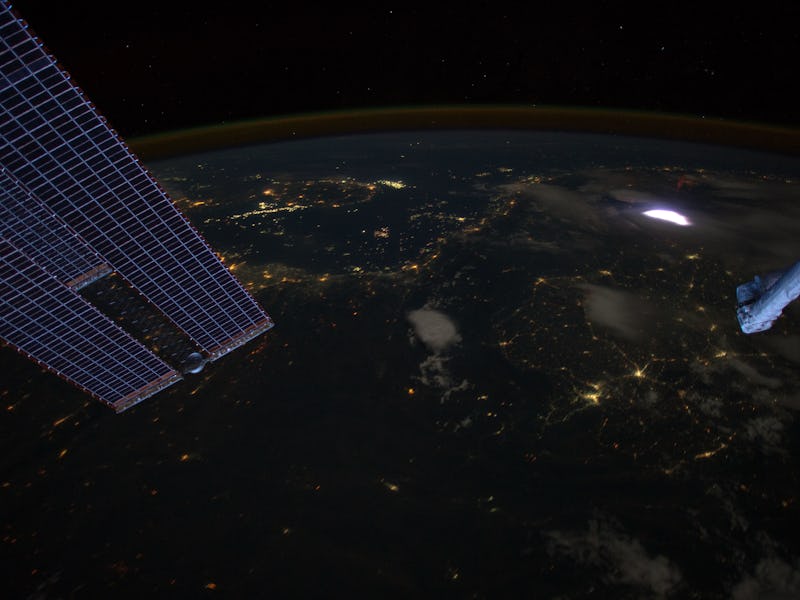
Something pretty crazy is happening in the skies way, way up above Hurricane Matthew. It’s called sprite lightning, and it’s the closest thing nature has to fireworks. Occasionally, in very intense lightning storms, layers of atmosphere well above the clouds will flash with red light. It’s the result of an electrical charge between the storm clouds and the troposphere — the inverse of a lightning bolt that connects the storm to Earth.
A photographer and skywatcher named Frankie Lucena caught the action over Matthew from Puerto Rico last week. It was a rare and impressive capture: Hurricanes rarely generate lightning, and lightning rarely generates sprites, and sprites are notoriously difficult to catch on camera. The reason sprites are so hard to see is that they occur above the storm itself, so if you’re in it, there’s no chance you’ll see them. But from a distance, and at elevation, it’s possible to spot them with the naked eye.
Your best bet is to find somewhere as dark as possible, and physically block out the light from the lightning storm, which is significantly more intense than the sprites above. All the better if you have high resolution, high-speed gear to capture the action.
Sprites are amazing not just because they look bananas, they also point to how little we know about the ways the different layers of atmosphere interact with each other. The phenomenon typically occurs between 30 and 50 miles up, way higher than the weather-producing layers we are more familiar with, although clearly these sections of the atmosphere have an influence on each other.
The mysteries of how — and what it means for us down below — are still unfolding. In the meantime, there’s no harm in enjoying the show.
A sprite lightning caught on high-speed camera.