Tech
Google Maps is adding COVID-19 travel alerts and crowdedness info
The latest features are great for keeping users safe and make Maps a better app overall.
Google has been updating Maps at a staggering pace as of late, and today the company announced a few more new features related to COVID-19 safety. The features include an expanded alert system for COVID-19 checkpoints and closures, as well as updated public transit crowdedness scales across the world. They’re rolling out starting today.
Just about every aspect of our daily lives has been affected by the ongoing COVID-19 pandemic; to pretend otherwise at this point is just ignorant and probably harmful. Google’s done a pretty stellar job of keeping Maps updated to reflect ever-changing takeout options and telemedicine offerings. Now that’s expanding to include transportation during the pandemic.
Alerts for safety — The new alerts center mostly on travel: can you get from point A to point B without running into potentially pandemic-worsening roadblocks?
If you’re required to wear a mask on public transit in your location, for example, Google Maps will now let you know about that mandate before you leave the house. At launch, those alerts will available in Argentina, Australia, Belgium, Brazil, Colombia, France, India, Mexico, Netherlands, Spain, Thailand, the U.K., and the U.S.
Maps will also now notify you if there are any COVID-19 checkpoints along your route; if you’re driving from the U.S. to Canada, for example. The alert will show up on your directions screen and also after starting navigation.
The last new alert will display when you’re looking for COVID-19 testing centers and medical facilities on Maps. That alert will remind users to verify their eligibility and facility guidelines to avoid being turned away once they’ve arrived. Alerts for medical facilities are available in Indonesia, Israel, the Philippines, South Korea, and the U.S., while testing center alerts are only available in the U.S.
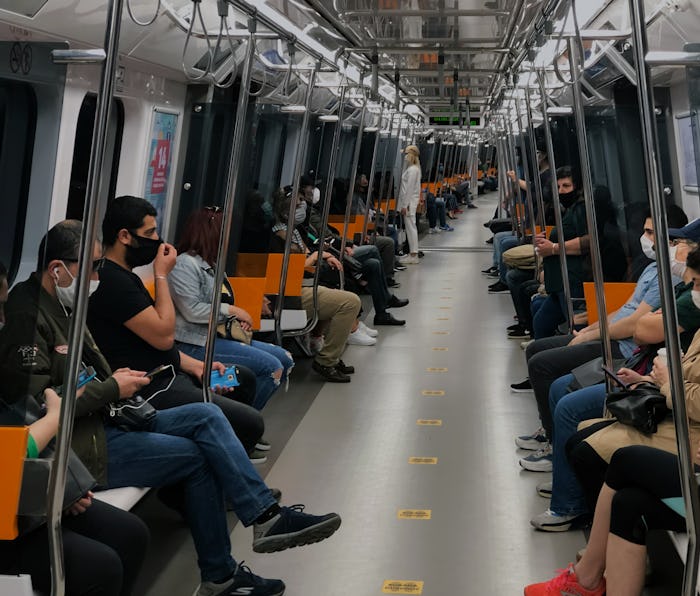
Avoid a crowded commute — The crowdedness scale for public transit has been around for more than a year now in some places, but it'll be rolling out globally. That includes the most recent update for wheelchair accessibility alerts.
The public transit busyness tracker is also expanding to include a detailed look at live and historical data. Google notes that these capabilities will be powered both by its Location History service — which is turned off by default — and by individual user reports.
By keeping its massive user base updated on important pandemic-related information, Google is doing its part to help curb the spread of COVID-19. The wealth of information available in the Maps app is pretty astounding, which will keep bringing customers back to the service over competitors, and that in turn will keep improving the accuracy of its information. A win-win, really.
